
|
Geological Survey of Victoria |
| Earth Resources Policy and Programs : dbMap DATABASE DUMP |
VICP1
 Petrosys Mapping POLYGON data file in AGD66 : ../peimages/vicp1_agd66.ply
(Image) file: vicp12.png
(Image) file: vicp17_agd66.ply
(Image) file: vicp13.png
(Image) file: vicp13_agd66.ply
(Image) file: vicp11v_agd66.ply
(Image) file: vicp14.png
(Image) file: vicp15.png
(Image) file: vicp1_1990.png
(Image) file: vicp14_1985.png
(Image) file: vicp16.png
(Image) file: vicp19.png
(Image) file: vicp17.png
(Image) file: vicp10_1977.png
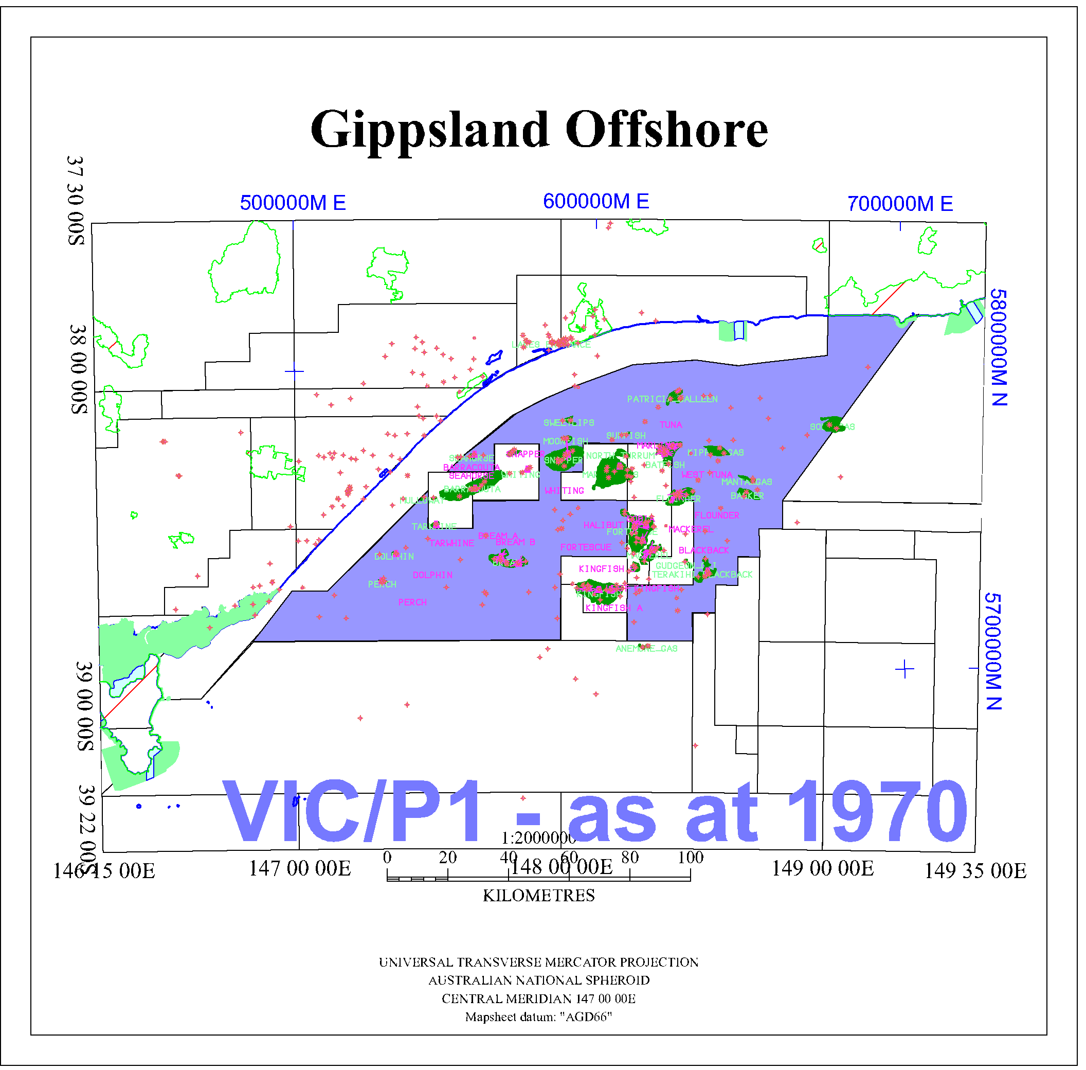
(Image) file: vicp1_1970.png
(Image) file: vicp11_1995.png
(Image) file: vicp19_agd66.ply
(Image) file: vicp14v.png
(Image) file: vicp1.png
(Image) file: vicp11.png
(Image) file: vicp10_agd66.ply
(Image) file: vicp1_1980.png
(Image) file: vicp11_1990.png
(Image) file: vicp12_agd66.ply
(Image) file: vicp14_agd66.ply
(Image) file: vicp18.png
(Image) file: vicp16_agd66.ply
(Image) file: vicp11_agd66.ply
(Image) file: vicp15_agd66.ply
(Image) file: vicp14_1990.png
(Image) file: vicp11v.png
(Image) file: vicp14v_agd66.ply
(Image) file: vicp10.png
(Image) file: vicp18_agd66.ply
Petrosys Mapping POLYGON data file in AGD66 : ../peimages/vicp1_agd66.ply
(Image) file: vicp12.png
(Image) file: vicp17_agd66.ply
(Image) file: vicp13.png
(Image) file: vicp13_agd66.ply
(Image) file: vicp11v_agd66.ply
(Image) file: vicp14.png
(Image) file: vicp15.png
(Image) file: vicp1_1990.png
(Image) file: vicp14_1985.png
(Image) file: vicp16.png
(Image) file: vicp19.png
(Image) file: vicp17.png
(Image) file: vicp10_1977.png
(Image) file: vicp1_1970.png
(Image) file: vicp11_1995.png
(Image) file: vicp19_agd66.ply
(Image) file: vicp14v.png
(Image) file: vicp1.png
(Image) file: vicp11.png
(Image) file: vicp10_agd66.ply
(Image) file: vicp1_1980.png
(Image) file: vicp11_1990.png
(Image) file: vicp12_agd66.ply
(Image) file: vicp14_agd66.ply
(Image) file: vicp18.png
(Image) file: vicp16_agd66.ply
(Image) file: vicp11_agd66.ply
(Image) file: vicp15_agd66.ply
(Image) file: vicp14_1990.png
(Image) file: vicp11v.png
(Image) file: vicp14v_agd66.ply
(Image) file: vicp10.png
(Image) file: vicp18_agd66.ply