
|
Geological Survey of Victoria |
| Earth Resources Policy and Programs : dbMap DATABASE DUMP |
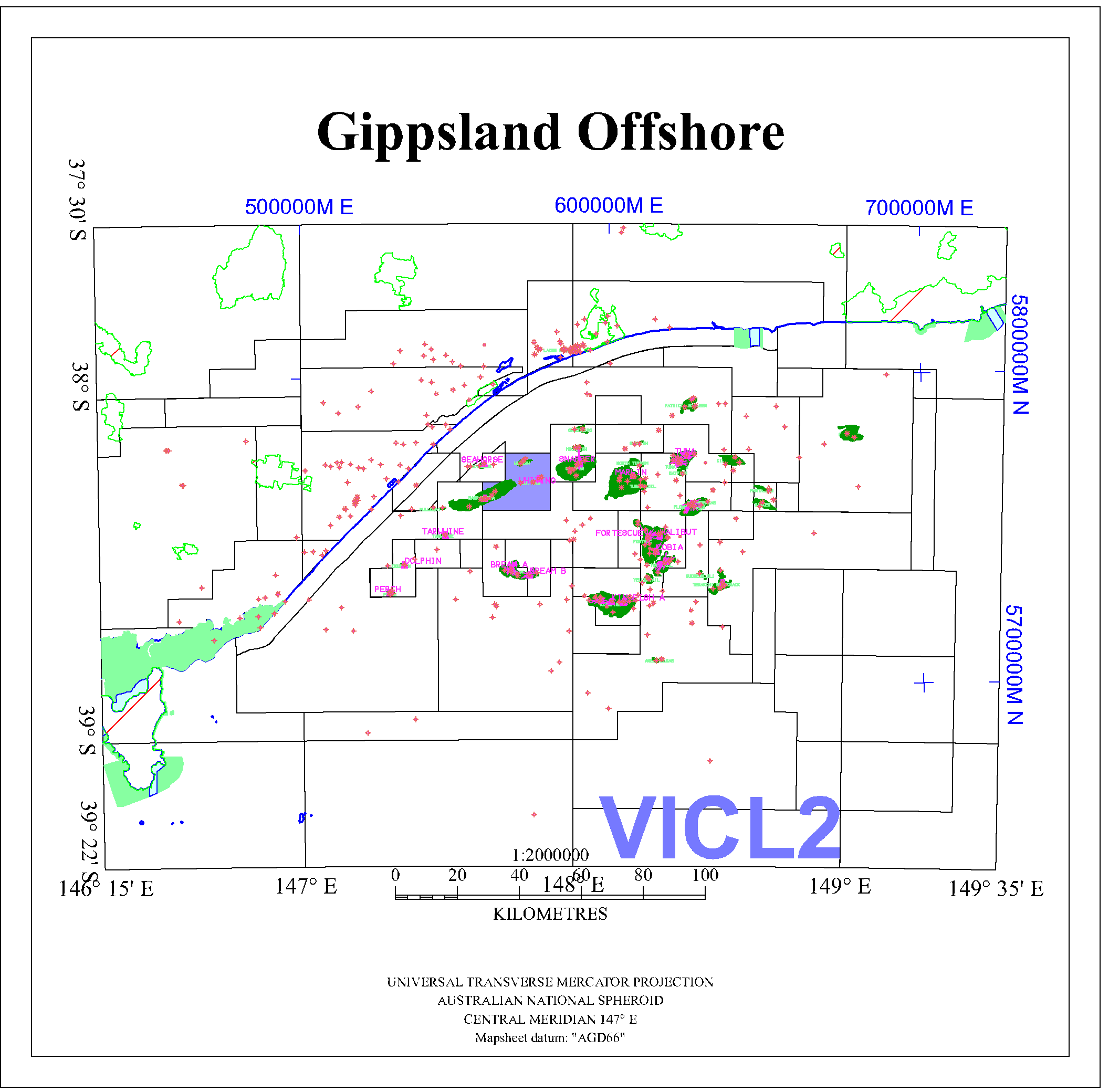
VICL2
 Petrosys Mapping POLYGON data file in AGD66 : ../peimages/vicl2_agd66.ply
(Image) file: vicl22.png
(Image) file: vicl26.png
(Image) file: vicl20_agd66.ply
(Image) file: vicl24.png
(Image) file: vicl24_gda94.ply
(Image) file: vicl26_gda94.ply
(Image) file: vicl2.png
(Image) file: vicl22_gda94.ply
(Image) file: vicl25.png
(Image) file: vicl20.png
(Image) file: vicl23_gda94.ply
(Image) file: vicl21.png
(Image) file: vicl23.png
(Image) file: vicl21_gda94.ply
Petrosys Mapping POLYGON data file in AGD66 : ../peimages/vicl2_agd66.ply
(Image) file: vicl22.png
(Image) file: vicl26.png
(Image) file: vicl20_agd66.ply
(Image) file: vicl24.png
(Image) file: vicl24_gda94.ply
(Image) file: vicl26_gda94.ply
(Image) file: vicl2.png
(Image) file: vicl22_gda94.ply
(Image) file: vicl25.png
(Image) file: vicl20.png
(Image) file: vicl23_gda94.ply
(Image) file: vicl21.png
(Image) file: vicl23.png
(Image) file: vicl21_gda94.ply