
|
Geological Survey of Victoria |
| Earth Resources Policy and Programs : dbMap DATABASE DUMP |
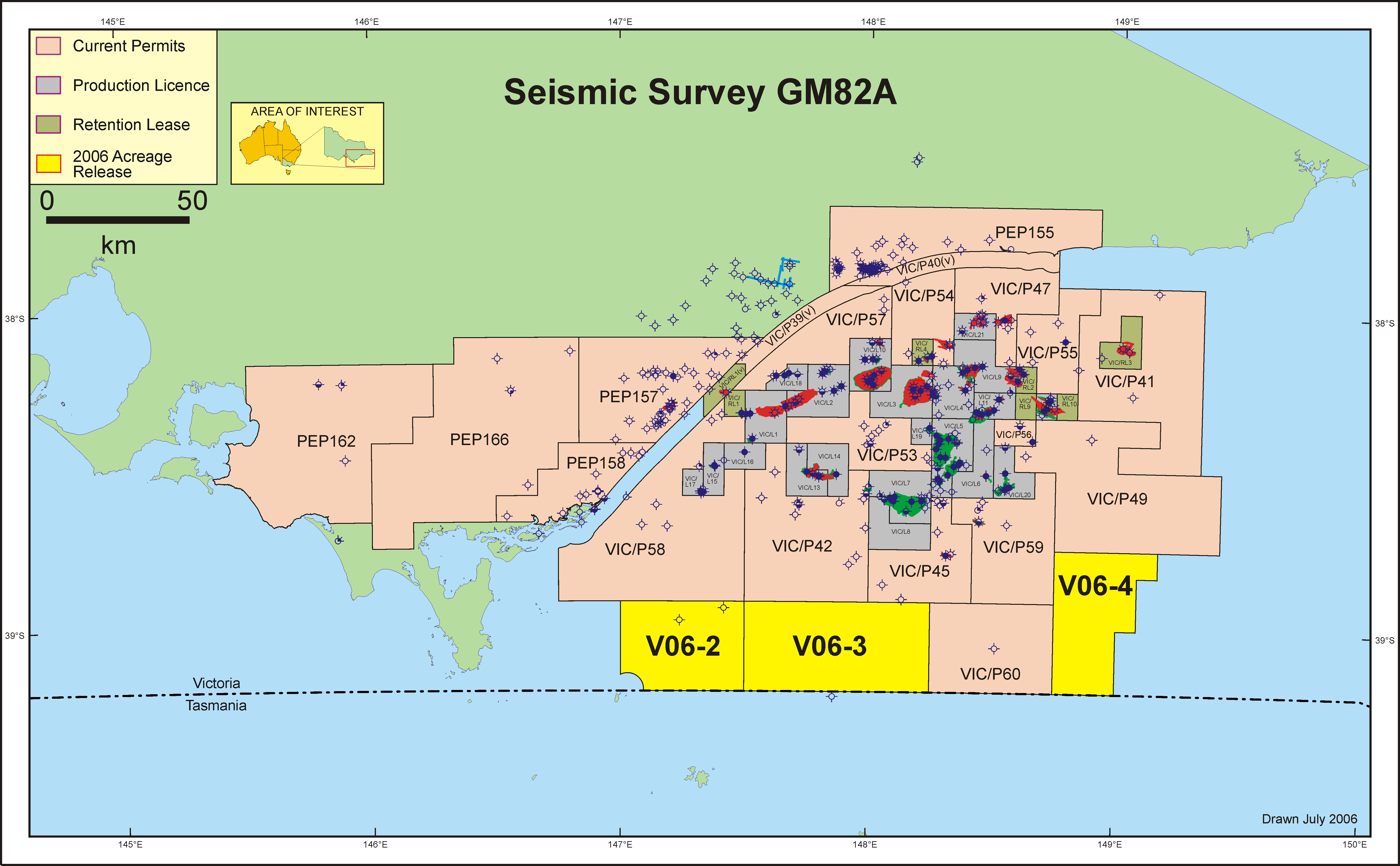
GM82A
 GDA94 shot point navigation data file (compressed) : ../peimages/gm82a_gda94.asc.gz
Polygon showing general outline area of 2D survey lines (compressed) : ../peimages/gm82a_gda94_polygon_outline.asc.gz
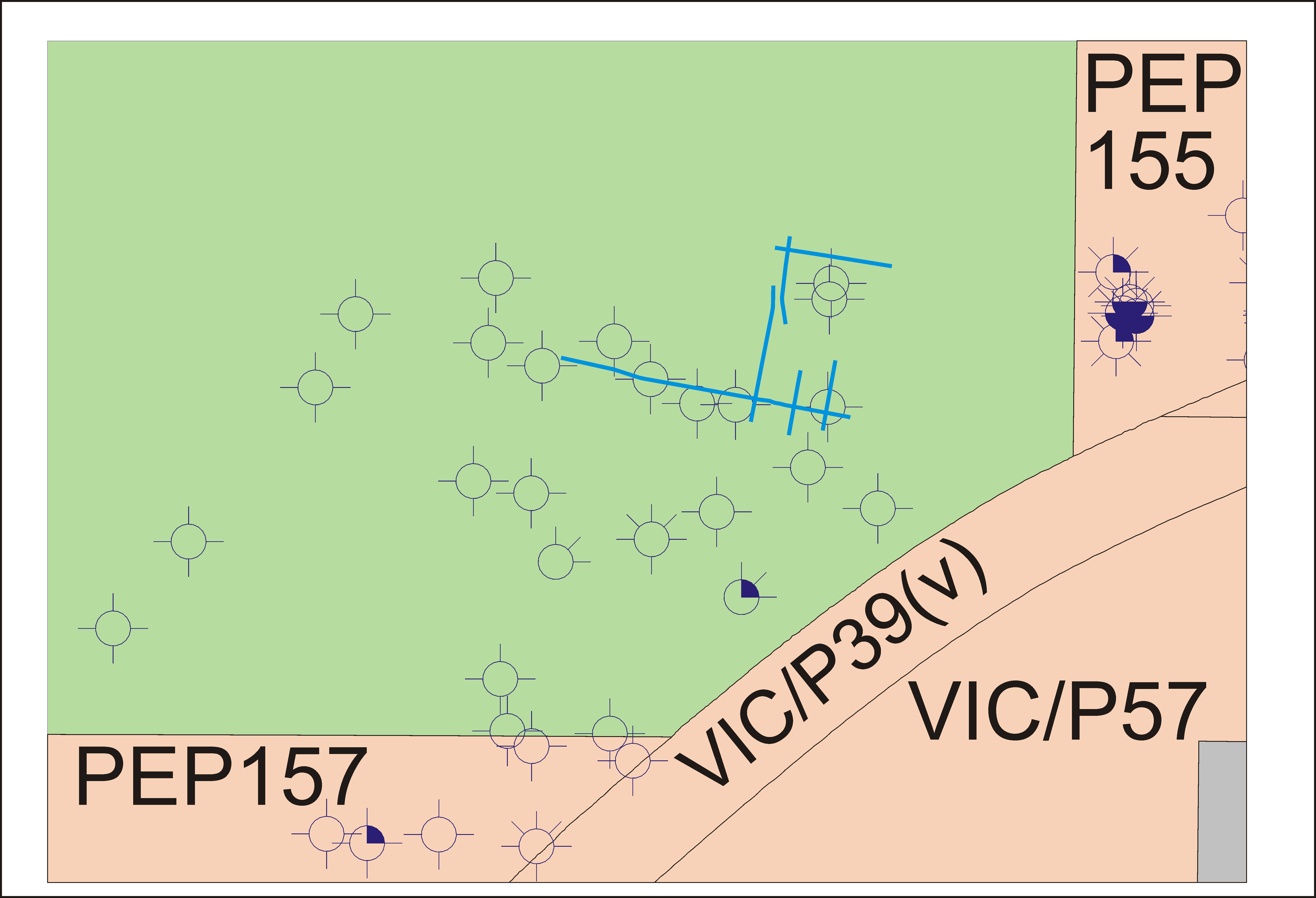
enlargement ../peimages/gm82a_enlargement.pdf
enlargement ../peimages/gm82a_plus_enlargement.pdf
PDF image file : ../peimages/gm82a.pdf
enlargement ../peimages/gm82a_enlargement.png
AGD66 shot point navigation data file (compressed) : ../peimages/gm82a_agd66.asc.gz
(Image) file: gm82a.png
GDA94 shot point navigation data file (compressed) : ../peimages/gm82a_gda94.asc.gz
Polygon showing general outline area of 2D survey lines (compressed) : ../peimages/gm82a_gda94_polygon_outline.asc.gz
enlargement ../peimages/gm82a_enlargement.pdf
enlargement ../peimages/gm82a_plus_enlargement.pdf
PDF image file : ../peimages/gm82a.pdf
enlargement ../peimages/gm82a_enlargement.png
AGD66 shot point navigation data file (compressed) : ../peimages/gm82a_agd66.asc.gz
(Image) file: gm82a.png